Discover the vision of Paramnesia
At Paramnesia, your innovative company, we are proud to present our new vision and mission,
which is focused on developing unique and sustainable solutions for our customers.
Immerse yourself in the world of Paramnesia and let yourself be inspired!
Bridging the Gap Between Physical Spaces and Digital Intelligence.
We fuse high-speed drone mapping, precise 3D architectural design, and strategic Facility Management consulting into a single, seamless digital ecosystem. Get the exact level of detail your project demands—delivered faster, priced competitively, and built for the future of operations..
Immersive Clarity from Ground to Cloud
We believe you shouldn’t have to wait for construction to finish to step inside your vision. Our core philosophy is built on immersive reality capture and advanced 3D visualization—giving developers, architects, and facility managers the power to interact with, stress-test, and perfect their spaces before a single brick is laid.
By capturing precise physical data from the sky and transforming it into rich, multi-layered digital models, we bridge the gap between imagination and operational reality. We give you total spatial foresight, reducing project risk and ensuring that what you build matches your exact intent.
Forward-Thinking 3D Pre-Visualization & Interior Design
Step Inside Your Project Long Before the Ground Is Broken.
Our design department transforms raw spatial coordinates, aerial scans, and conceptual blueprints into living, interactive digital assets. We specialize in bringing the future into the present. By generating highly accurate digital twins, rich architectural models, and bespoke interior environments, we give you, your investors, and your project teams the unique ability to experience the flow, aesthetic, and functionality of a space before construction even begins.
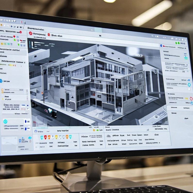
Intelligent Scan-to-BIM
Workflows
We bridge the physical and digital worlds by translating drone photogrammetry and laser scan point clouds into parametric Building Information Modeling (BIM) files (Revit/CAD). Every wall, pipe, and structural column is modeled exactly where it exists in reality
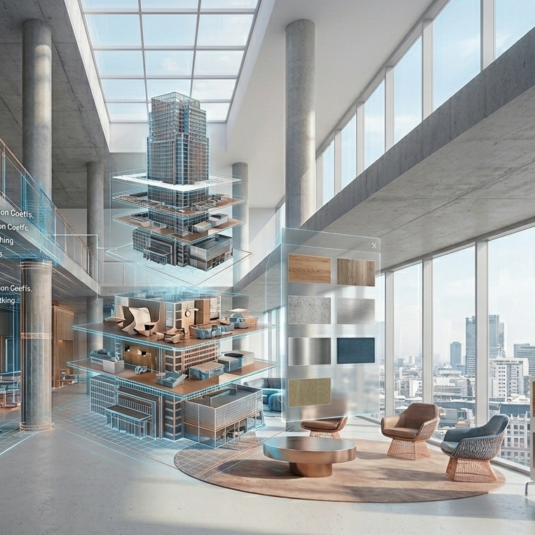
Immersive Pre-Visualizations & Interior Architecture
We turn abstract lines on a 2D page into immersive, high-fidelity 3D environments. Visualize future interior layouts, curate material palettes, analyze lighting patterns, and preview custom millwork. This allows clients and stakeholders to experience the scale, texture, and mood of the space early in the design cycle, securing faster project approvals.
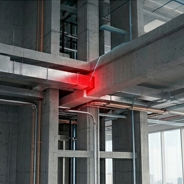
Design Optimization & Clash Detection
By overlaying new architectural concepts onto existing, drone-mapped physical realities, we catch spatial conflicts early. Identifying a piping or structural clash in our 3D model saves thousands of dollars compared to catching it on the job site.
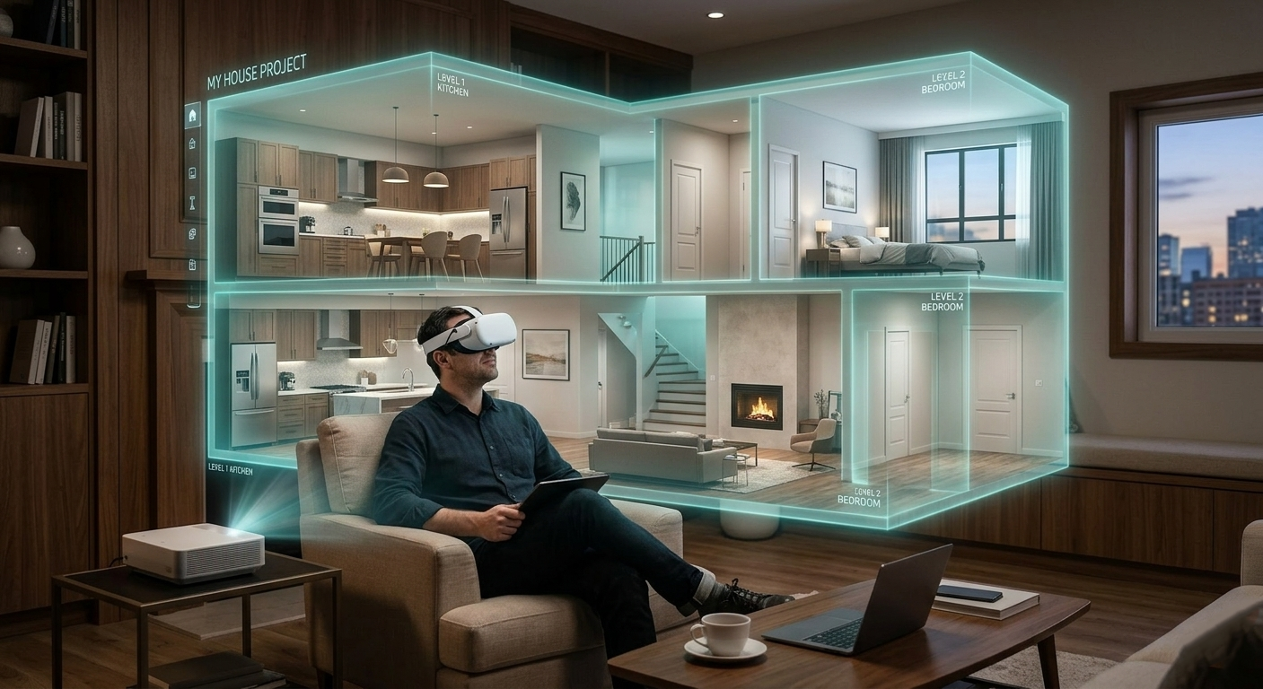
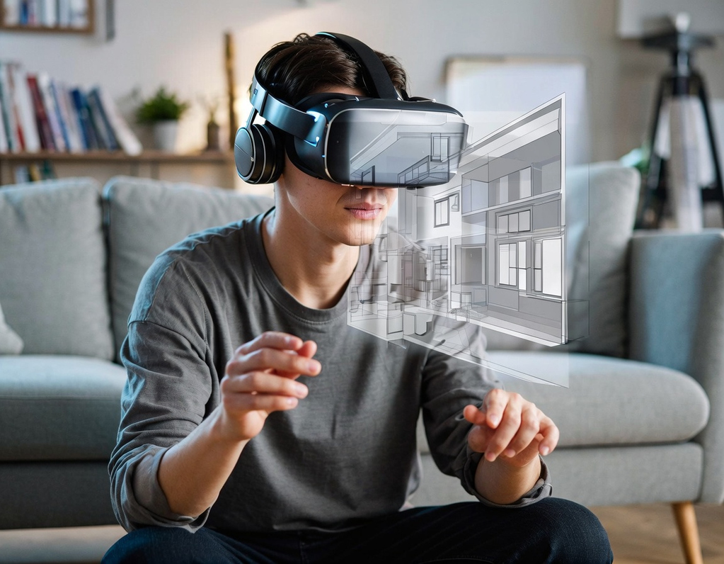
VR Visualization
Cross-Platform VR Ecosystems: deploy your 3D models across industry-leading visualization engines. Whether you need ultra-realistic cinematic rendering or a highly agile, interactive BIM walkthrough, we adapt our pipeline to the software environment that best fits your technical stack.
Flexible Multi-Method Viewing: We tailor the VR experience to your audience and location using diverse viewing methods
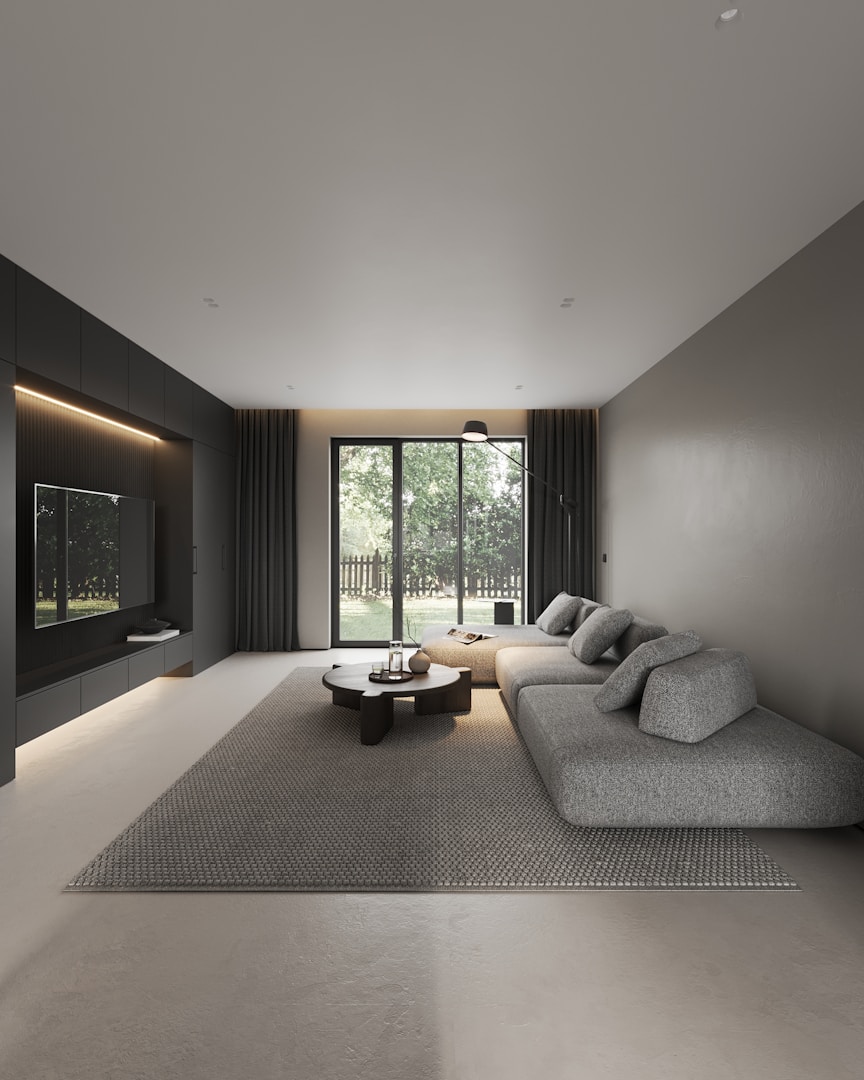
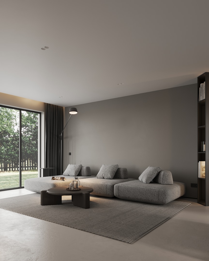
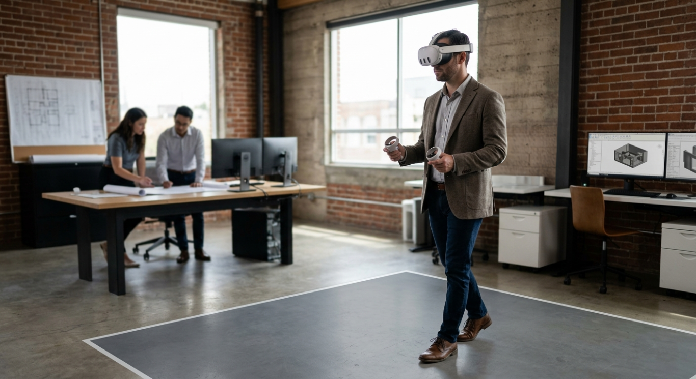
- Fully Immersive VR: Put on a VR headset to physically walk through the space, check sightlines, and inspect design details at a true 1:1 human scale.
- Desktop & Mobile Walkthroughs: Navigate the 3D space effortlessly via an interactive link on a PC, tablet, or smartphone—perfect for remote client presentations and rapid feedback.
- 360° Panoramic Cloud Portals: Explore curated, high-resolution 360-degree render nodes, allowing you to spin through rooms and jump from space to space with a single click.
Physical 3D Printing & Scale Architecture Models
Bringing your digital twins into the physical world
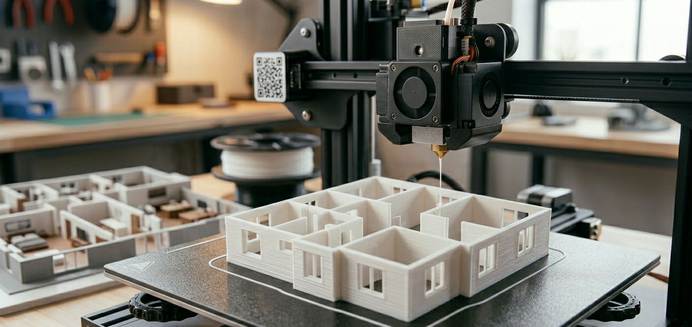
Data-Driven Architectural Prototyping
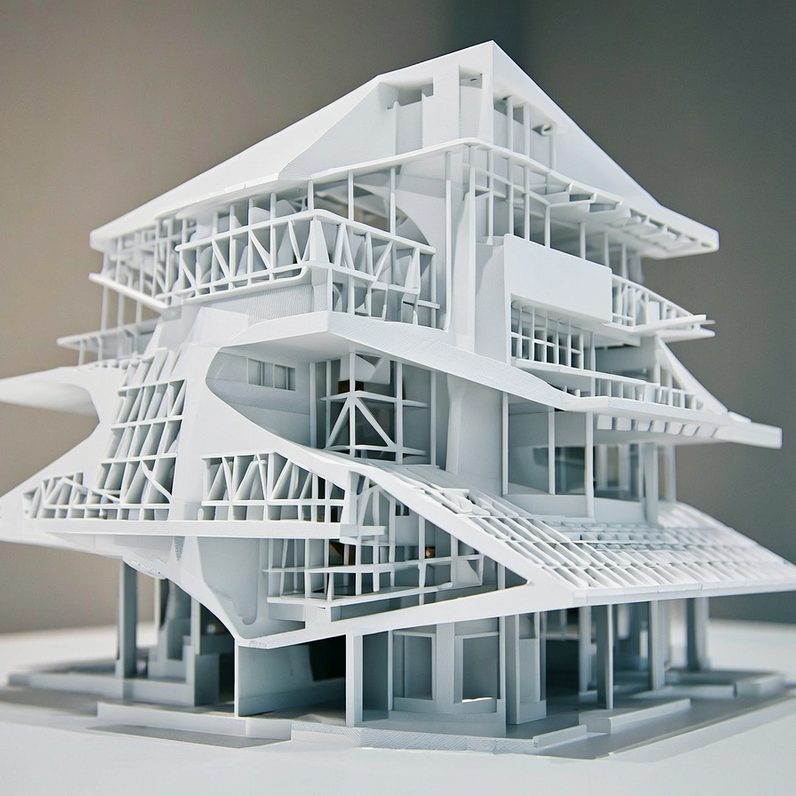
We close the loop between the physical and digital worlds by directly converting our drone-mapped terrain data and parametric BIM files into high-definition physical replicas. Every grading change, structural column, and architectural line is translated with mathematical precision, ensuring the physical model is a flawless representation of the digital data.
Tactile Stakeholder Engagement
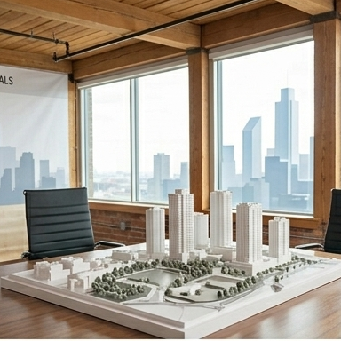
Elevate investor pitches, public zoning hearings, and marketing suites with tangible models that command a room. While screens and VR offer incredible immersion, a physical centerpiece provides an immediate, intuitive understanding of scale and volume, driving faster alignment and securing high-stakes approvals.
Volumetric Massing & Site Coordination
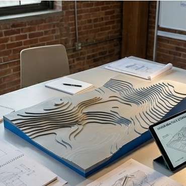
Give your design and engineering teams a physical sandbox to evaluate complex site integrations. These high-precision maquettes allow you to study massing, shadow impacts, and structural orientation in the real world, serving as an invaluable tool for cross-examining spatial relationships before breaking ground.
Drone Mapping & Reality Capture
The Sky is No Longer the Limit—It’s Your New Baseline
We take data acquisition to the sky. Utilizing state-of-the-art UAV technology, we deliver rapid, high-resolution aerial mapping, topographic site tracking, and complete exterior building scanning. Whether you are monitoring an active construction site or mapping an expansive property portfolio, our drone data integrates seamlessly into your planning pipeline.
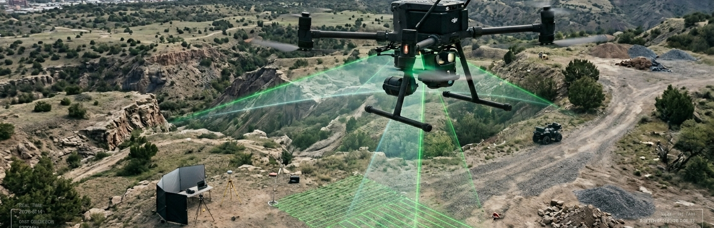
- High-Speed Aerial Analytics & Photogrammetry: We map acres of land and towering building envelopes in a fraction of the time it takes traditional crews. Our drones capture thousands of high-resolution images, stitching them into geographically accurate 2D orthomosaics and 3D point clouds.
- Topographic & Volumetric Site Tracking: For active construction sites and raw land development, we provide precise terrain modeling and volumetric calculations. Track earthwork progress, calculate cut-and-fill volumes, and monitor site changes week-over-week with absolute mathematical certainty.
- As-Built Exterior Diagnostics: Capture the exact "as-is" condition of roofs, facades, and hard-to-reach structural elements. This data provides an invaluable, risk-free foundation for renovation planning, historical preservation, or structural integrity audits.
Integrated Facility Management & CAFM Consulting
Designing for the Next Thirty Years, Not Just the Next Thirty Days
A brilliant 3D design is only as good as the data driving it. While most design firms walk away once construction finishes, we ensure your digital assets work for you for the entire lifecycle of the building. We sit at the intersection of architecture and operations, consulting on the seamless integration of your physical 3D geometry directly into Computer-Aided Facility Management (CAFM) and Integrated Workplace Management Systems (IWMS).
Operational Readiness from Day One
We structure the data inside your 3D models so that the moment the keys are handed over, your operations team has a fully populated digital ecosystem. No manual data entry, no missing asset tags—just instant operational control.
Dynamic Space Management & CAFM Integration
We translate complex architectural models into clean, interactive spatial layouts for your CAFM software. Easily track rentable square footage, manage department allocations, optimize leasing structures, and visualize space utilization in real-time.
Asset Lifecycle & Preventive Maintenance Mapping
Every critical piece of equipment mapped during our scanning and design phases is embedded with vital operational data. Your maintenance teams can click on a mechanical component within the digital model to instantly view its service history, manuals, and warranty details, driving down long-term operational overhead.
The Metrics That Set Us Apart
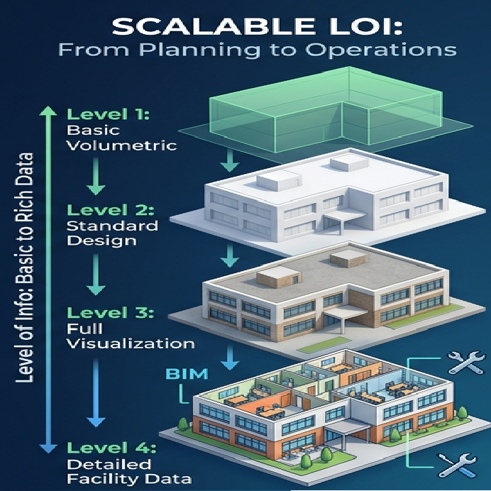
Scalable Levels of Information (LoI)
Every project has unique requirements. We don't believe in a one-size-fits-all approach. We offer customized data layouts based on the level of detail your phase requires
from lightweight, fast-turnaround spatial wireframes for early planning, up to highly complex, data-rich BIM assets packed with component lifecycle info for operational facility management. You only pay for the depth of data you need.
Highly Competitive Pricing
Through efficient drone automated workflows and an optimized local design pipeline, we eliminate the heavy overhead typical of legacy surveying firms. We pass those savings directly to you, delivering top-tier architectural design and engineering-grade accuracy at a price point that keeps your project highly profitable.
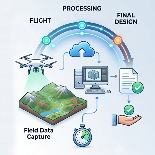
Rapid-Turnaround Deliveries
In your industry, lost time is lost capital. By relying on advanced aerial photogrammetry and cloud-processed point data, we compress tracking and drafting times significantly. We get your processed maps, 3D designs,
and structured facility layouts into your hands quickly, keeping your decision-making ahead of schedule.